
What we fly, and what you get.
Seven aerial imagery services plus WARDEN airspace awareness. Every job is quoted for the site, so you only pay for what the job needs.
 Service
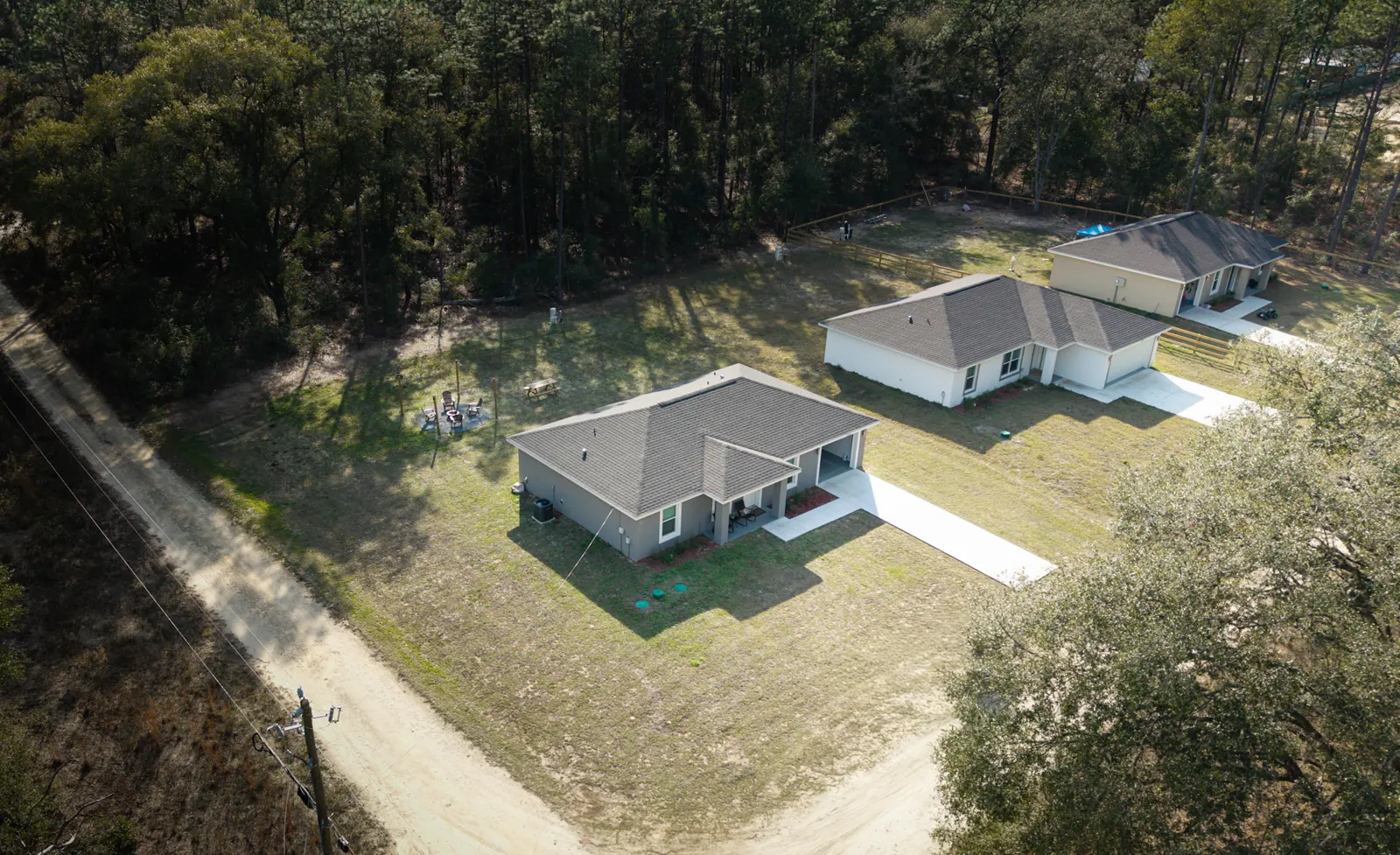
Real Estate Aerial Photo & Video
Buyers decide in the first few photos. Aerials show what ground shots can't: the lot lines, the canal or lake, the roof, and the neighborhood around the home.
- For
- Realtors, sellers, builders
- You get
- Edited aerial photos, cinematic listing video, and neighborhood context shots
- Good to know
- Residential jobs qualify for our 5% veterans, military, and first-responder discount
 Service
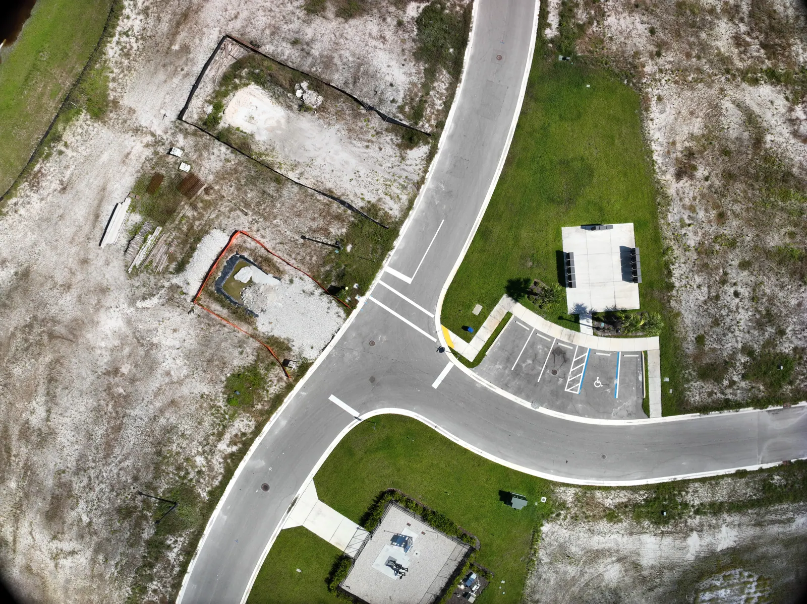
Construction Progress Documentation
The same vantage points, flown on a schedule, so owners, lenders, and investors can see each phase of the build without a site visit.
- For
- Developers, general contractors, project managers
- You get
- Monthly or biweekly aerial photo and video sets from repeatable vantage points, plus orthomosaic overview images
- Use it for
- Investor and lender updates, marketing, and keeping a visual record of the site
 Service
Storm & Property Condition Documentation
A baseline before hurricane season and a fast flight after the storm. Dated imagery makes conversations with insurers and contractors easier.
- For
- Homeowners, HOAs, property managers, adjusters
- You get
- Pre-storm baseline imagery and post-storm condition imagery, dated and organized by property
- Timing
- Book your baseline before June. After a storm, call early: we schedule post-storm flights in the order requests come in
 Service
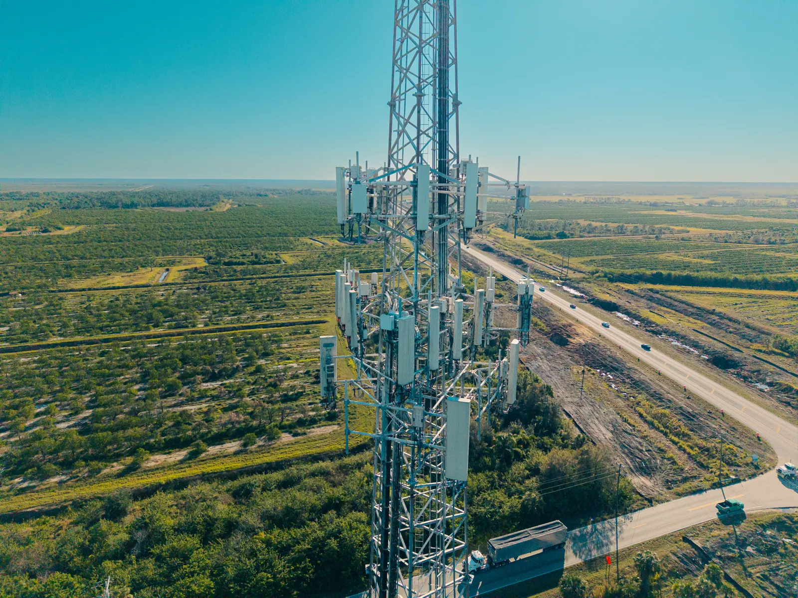
Tower, Roof & Utility Inspection Imagery
Close-range imagery of towers, roofs, facades, poles, and new lighting, without putting anyone on a ladder or a climb.
- For
- Inspectors, roofers, tower and utility contractors, insurers
- You get
- Close-range photo and video of the structure; before, during, and after imagery for utility installs; night documentation of new lighting
- Fleet
- DJI Matrice 4E with RTK positioning and spotlight
Imagery only. We document what is there; we don't provide engineering or roof assessments.
 Service
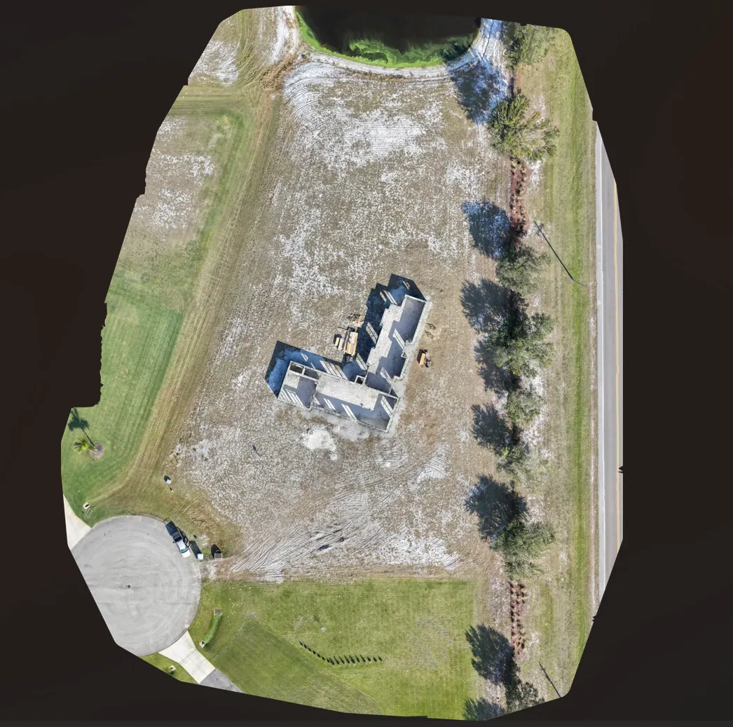
Orthomosaic Imagery
Hundreds of overlapping photos stitched into one georeferenced overhead image of the whole parcel, sharper and more current than satellite imagery.
- For
- Developers, planners, property owners, marketing teams
- You get
- A georeferenced overhead image of the site, ready for planning software or presentations
- Good to know
- Visual reference only. See our service scope
 Service
3D Visual Models
A 3D model lets your team walk around a site from a desk. Spin it, zoom in, and share a view that shows the whole picture.
- For
- Developers, site managers, marketing teams
- You get
- 3D visual models of sites, stockpiles, and structures you can rotate and share
- Good to know
- For visual reference and presentation, not a measurement product
 Service
Incident & Scene Documentation
When something happens on a property, a roadway, a waterway, or a job site, fast aerial documentation preserves what the scene looked like before it changes.
- For
- Attorneys, insurers, adjusters, property owners, businesses
- You get
- Dated aerial imagery with the flight log and metadata, plus visualization of client-supplied GPS tracks over aerial imagery
- Background
- Flown by a pilot with over a decade of law enforcement experience, including incident investigation
Documentation and visualization only. We don't provide accident reconstruction or expert measurements, and we don't accept work on matters connected to the pilot's public-safety employment.
- Dated aerial imageryphoto + video
- Flight log and metadatatime · position · altitude
- GPS track visualizationyour data, over aerial imagery
 Service · WARDEN
Event Airspace Awareness
We set up a WARDEN receive-only node at your event or venue. Your security lead sees drones broadcasting Remote ID nearby and where their operators are, and you get a drone activity report afterward.
- For
- Event organizers, venues, private security teams
- You get
- Live drone and operator positions during the event, and a post-event activity report
- Limits
- Detection only, and only drones that broadcast Remote ID
Not sure which service fits?
Describe the site and what you need to show. We'll recommend the right flight and quote it.